Providing engineering solutions.
Developing people.
Building relationships.
© 2025
Ark Consulting Group, PLLC
© 2025
Ark Consulting Group, PLLC
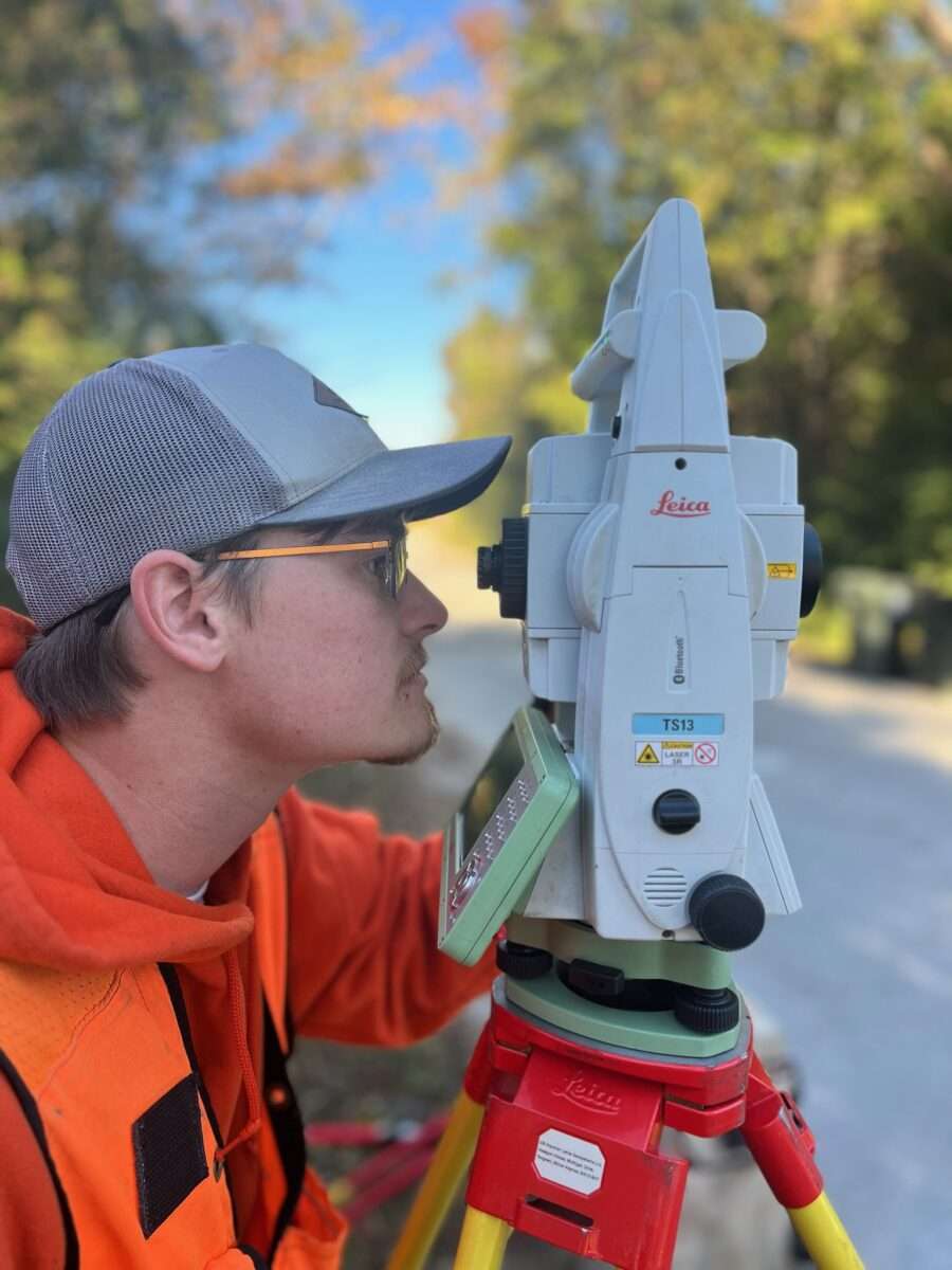
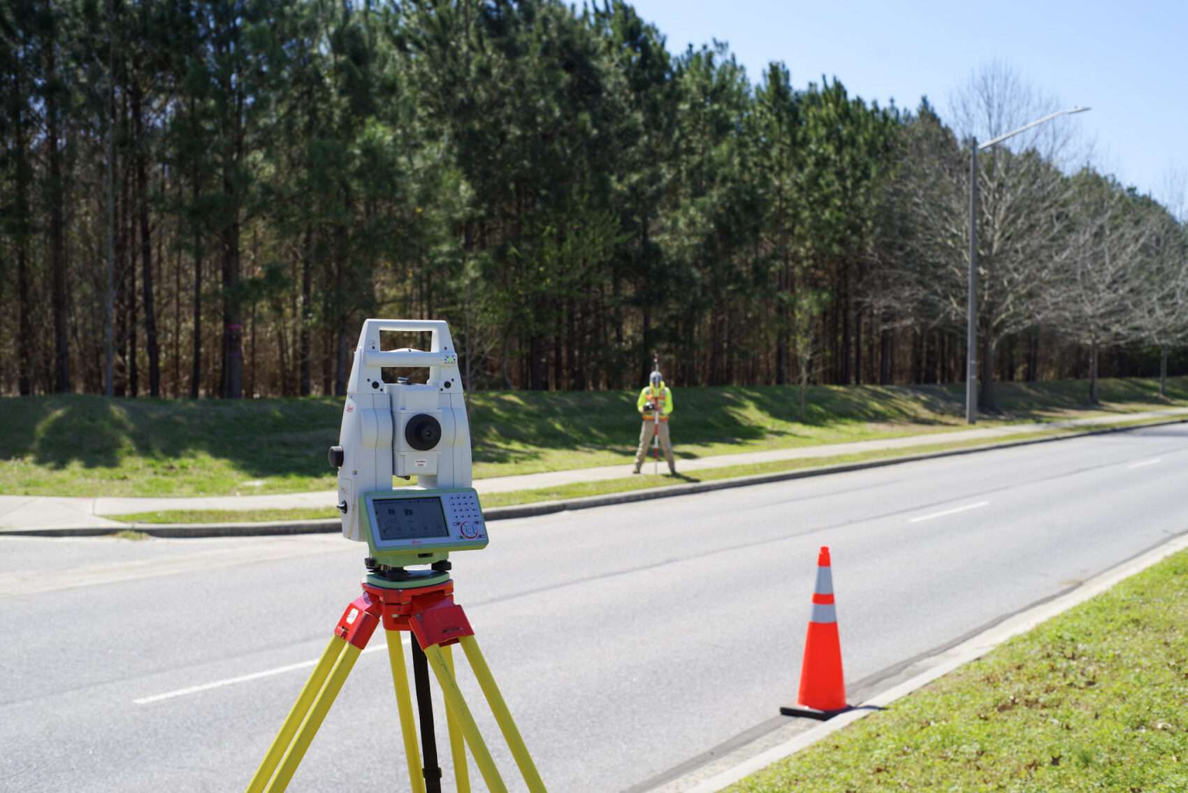
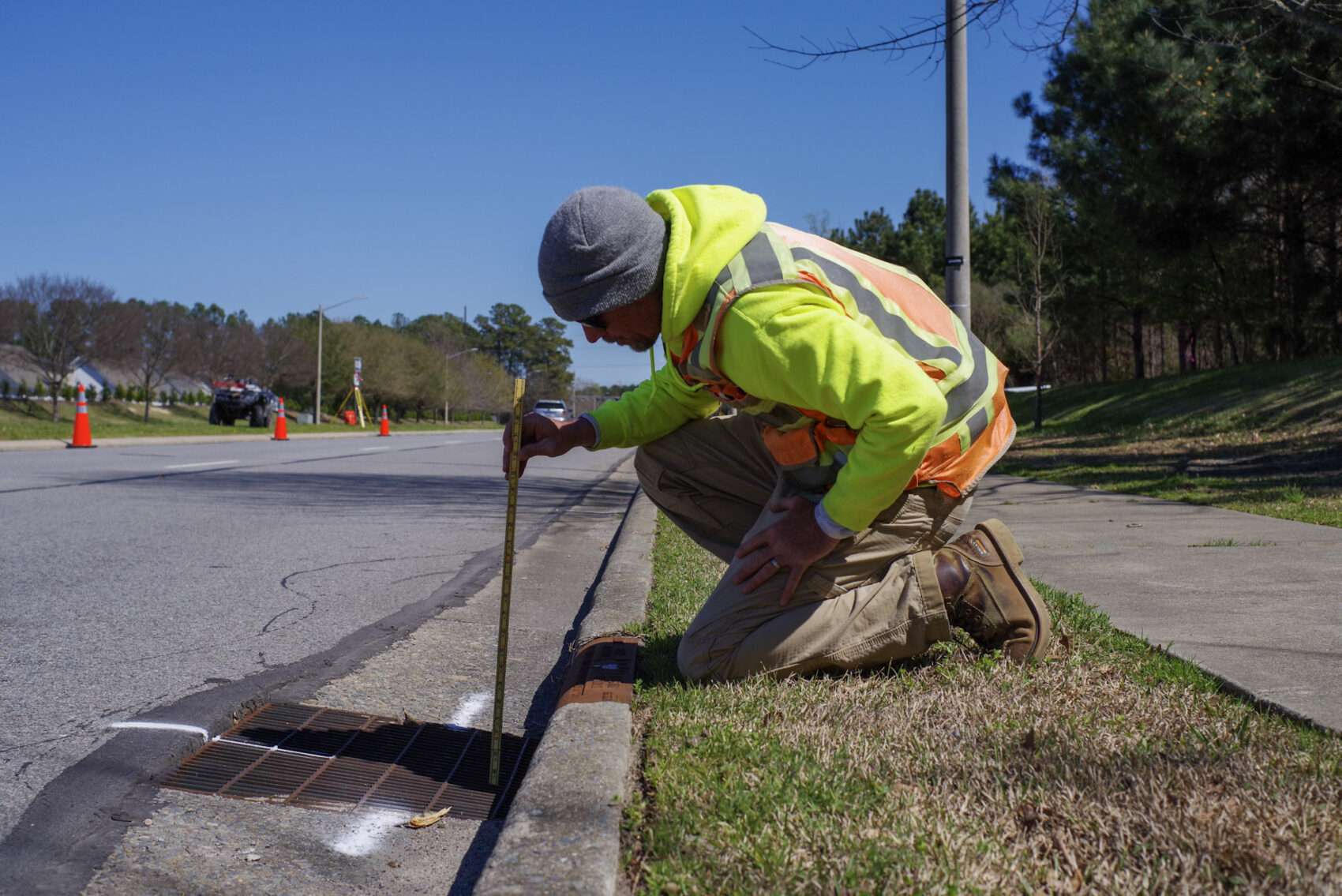
Precision Surveys:
Every successful project starts with accurate data. Our expert survey team uses the latest technology to deliver precise site surveys, ensuring a strong foundation for your development. We understand that careful measurements today prevent costly adjustments tomorrow.
With a skilled team of Professional Land Surveyors and field crews, we leverage state-of-the-art equipment, including electronic and robotic Total Stations, to maintain the highest accuracy and quality standards.
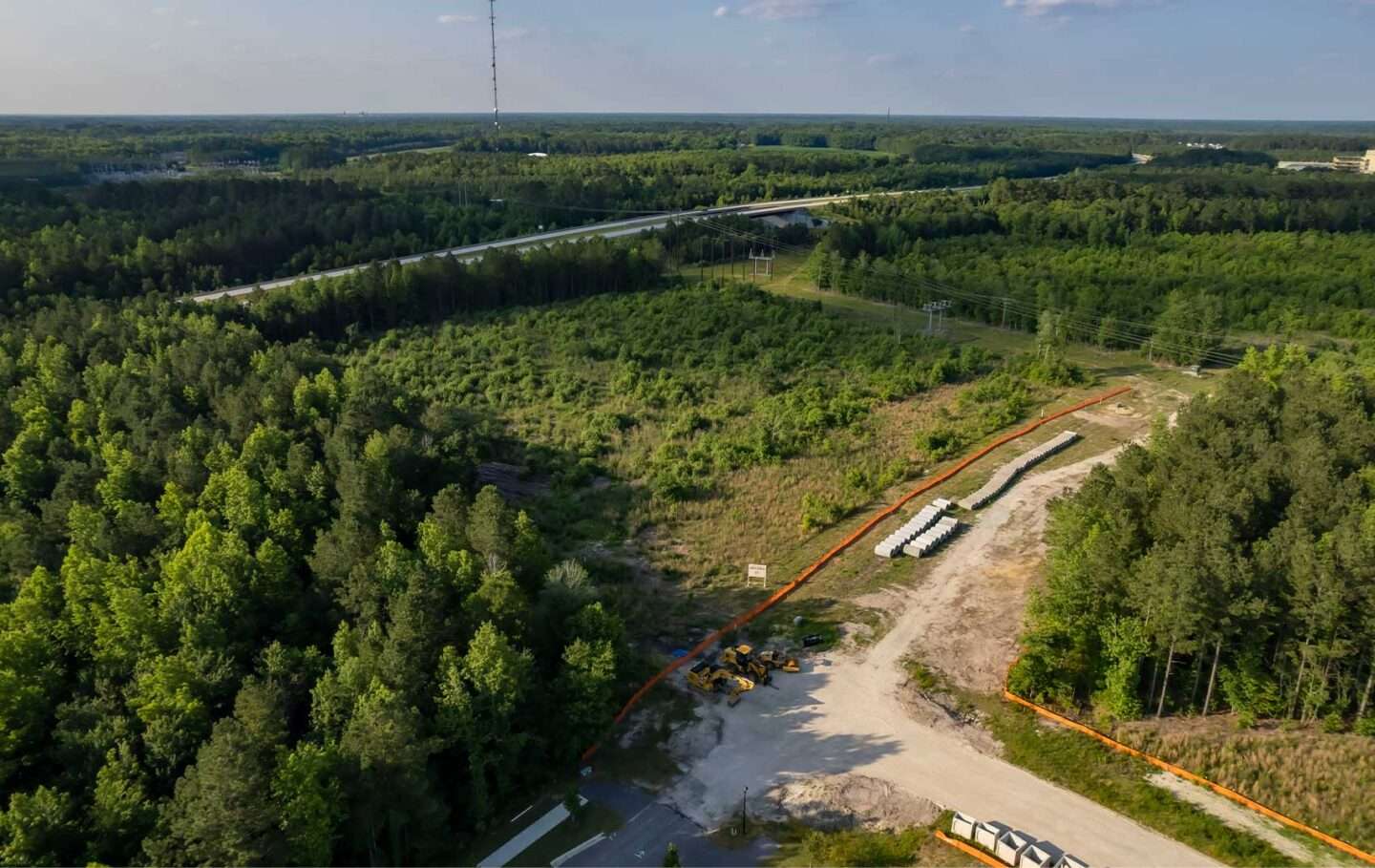
Faster, More Detailed Data Collection:
While on-the-ground surveying remains essential, we also deploy drones with advanced sensors for rapid, high-detail data collection. From photogrammetry to laser scanning, our aerial technology enhances efficiency for large sites and corridors.
Smart Solutions, Cost-Effective Results:
We tailor our approach using a mix of traditional and advanced surveying methods, ensuring you get exactly the data you need—no more, no less—at a cost that fits your budget.
What sets us apart is our commitment to both technical excellence and client relationships. By offering surveying services in-house, we create a seamless experience where our surveyors work directly with our engineering team. This integrated approach not only ensures efficiency but also provides our clients with unified planning and consulting from a team that truly understands their needs.
Boundary SurveysTopographic SurveysALTA/NSPS Land Title SurveysAerial MappingGIS and Asset ManagementConstruction StakingElevation CertificatesFloodplain Surveys and Letters of Map Correction


At Ark Consulting Group, we’re always on the lookout for skilled and dedicated individuals to join our team.