Providing engineering solutions.
Developing people.
Building relationships.
© 2025
Ark Consulting Group, PLLC
© 2025
Ark Consulting Group, PLLC
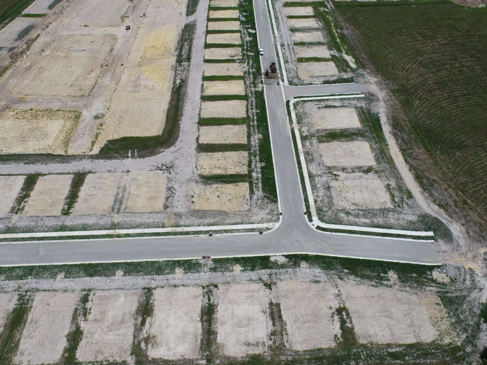
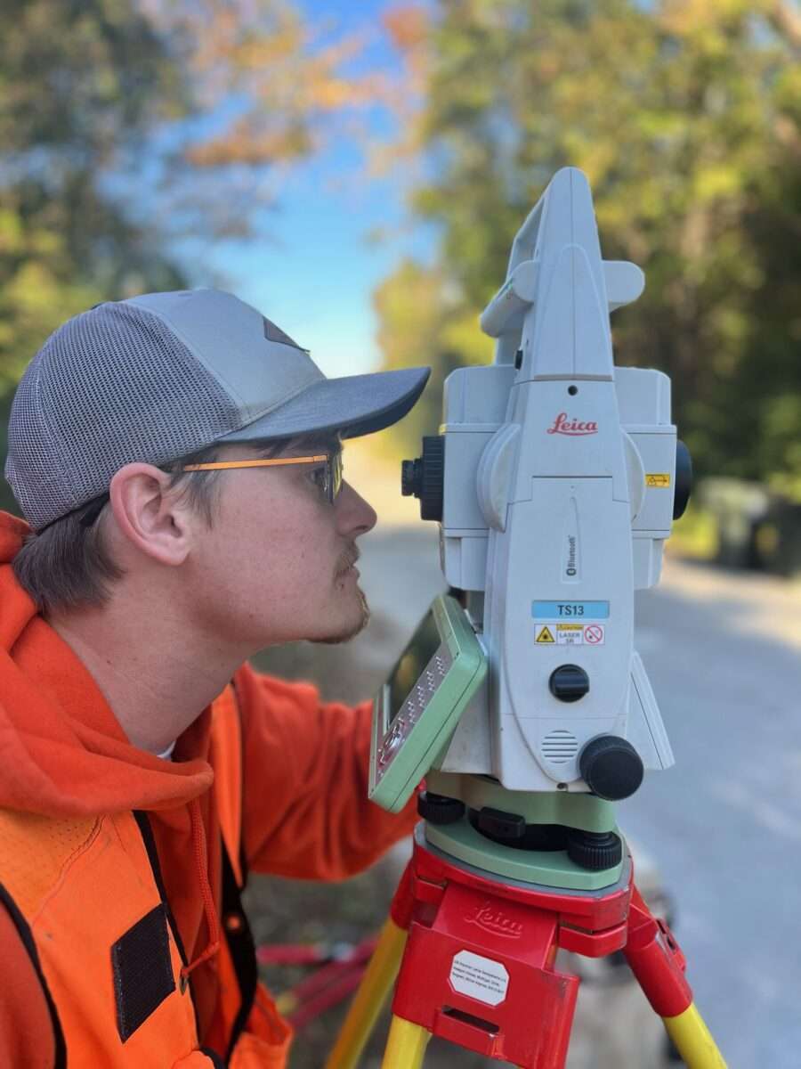
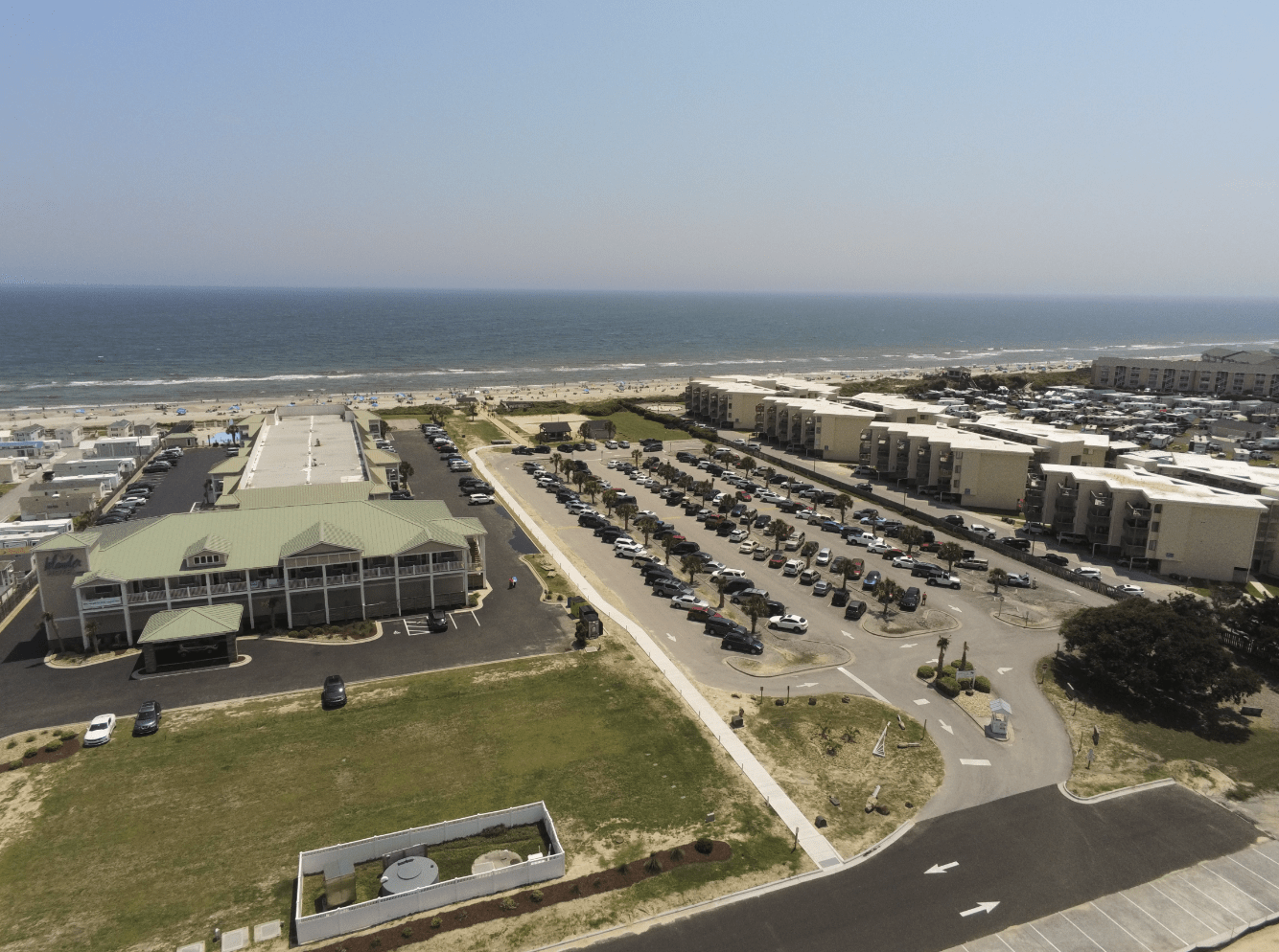
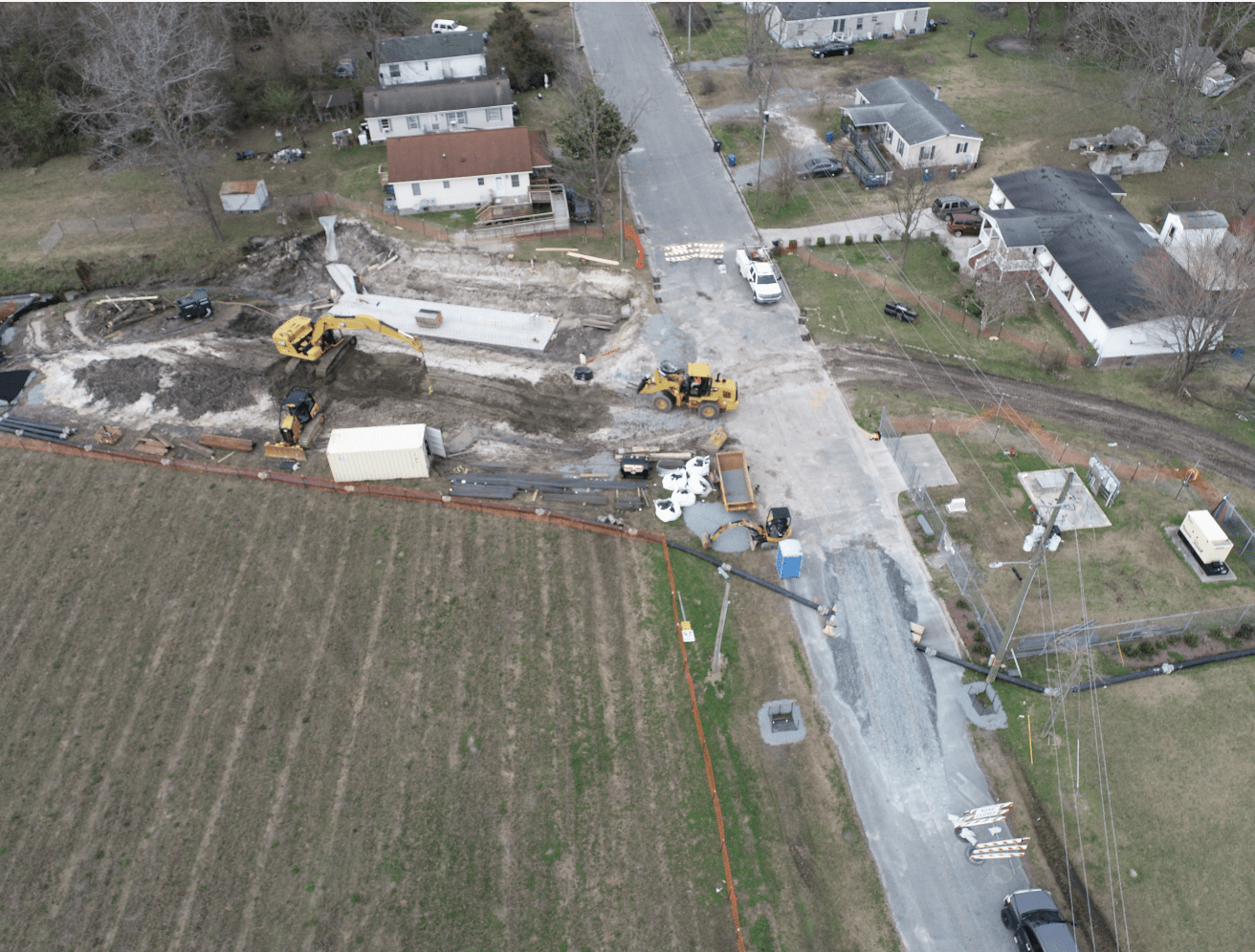
Whether that's traditional terrestrial surveying, drone-based photogrammetry, LiDAR, or even fixed-wing data collection, Ark utilizes the right tool for the job. Aerial mapping can offer fast, cost-effective data for your project's needs.